


shoreline management
What is the Shoreline Management Plan?
The Shoreline Management Plan (SMP) balances drinking water supply needs with safe recreational uses and sustainability. The SMP guides use of the shoreline up to the 541-foot elevation, which is property owned by NTMWD that includes the 100-year flood level. The SMP also regulates uses of NTMWD property along the shoreline by current and future private property owners. Those wishing to access and use NTMWD property on the shoreline of Bois d’Arc Lake must obtain written authorization from NTMWD through the SMP.
NTMWD developed the plan by drawing on a technical analysis of the lake and its shoreline, local zoning laws, the Fannin County’s Comprehensive Plan for Lower Bois d’Arc Creek Reservoir and input from stakeholders considered during that plan’s development.
The Shoreline Management Plan:
- Offers a shared vision for the lake and its proper use
- Creates shoreline classifications to help balance different factors affecting the lake and shoreline
- Provides direction for local property owners on approved uses of the shoreline
- Promotes appropriate and safe recreational uses of the lake
Shoreline Classifications

Restricted

Environmentally Sensitive

Public Access/Commercial Development
Limited Development

Dock Capable
Obtaining a Shoreline Lease & Use
Private property owners with land adjacent to Bois d’Arc Lake’s shoreline can request permission to build authorized structures, including boat docks, or use the shoreline through the process outlined below.
Please apply and pay online for a Shoreline Lease and Use Agreement. Follow these instructions on how to set up an account in MGO. Note: All payments are final and will not be refunded.
We maintain a list of registered contractors who have met the minimum requirements to work on NTMWD property. Landowners may use any contractor of their choice as long as the contractor meets NTMWD minimum requirements and is registered with NTMWD. Contractors who wish to register with NTMWD and be added to the registered contractor list can apply at MGO Connect.
General Steps to Obtain a Shoreline Lease & Use Agreement
- Click the link above to MGO connect and follow the instructions to submit an Initial Inquiry or with general questions the applicant may contact the Bois d’Arc Lake Operations Center at (469) 626-4765.
- NTMWD reviews available information to determine whether the proposed location is suitable for the activity or structure. Plans for dock construction must conform to criteria in the SMP, including require¬ments for size, spacing, location and more.
- A NTMWD representative from the Bois d’Arc Lake Operations Center will contact the applicant via email to schedule a site visit to evaluate the on-site location.
- After the site visit, the applicant must conduct a boundary survey marking, complete and submit an online application for a Shoreline Lease and Use Agreement and pay the associated one-time or yearly fixed fee. Fees are listed by types of agreement in the full SMP.
- NTMWD sends the Shoreline Lease and Use Agreement with conditions for the applicant. After the agreement is fully executed, construction may begin.
- A Certificate of Compliance will be issued after the approval of the post-construction inspection. NTMWD will also issue two permit tags with the expiration date to be displayed on the water and shore side of the dock or other structure.
- NTMWD conducts periodic inspections throughout the agreement term.
Partnering with Fannin County
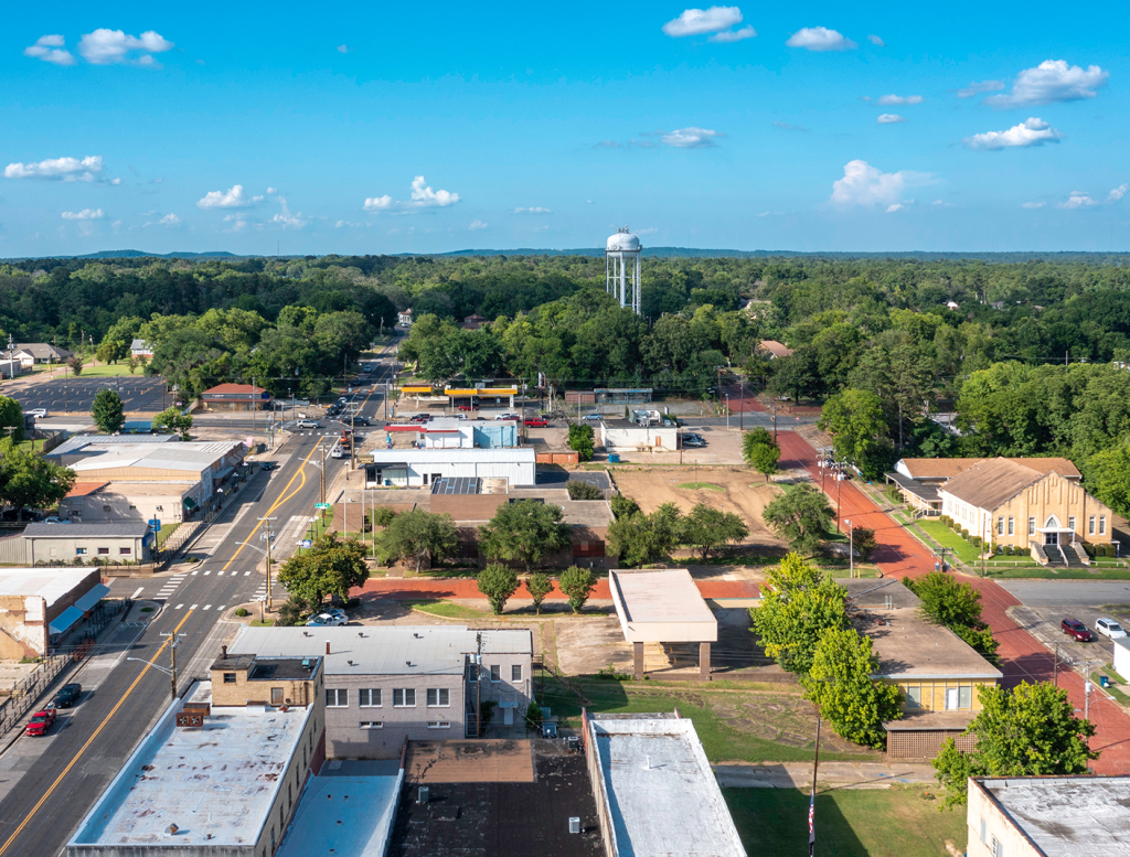
The District’s Shoreline Management Plan was developed through a cooperative process between NTMWD and Fannin County.
- In 2011, with the support of NTMWD and Fannin County, the state amended the Texas Local Government Code to grant Fannin County the authority to zone the area within 5,000 feet of the future lake’s shoreline.
- In October 2016, the Fannin County Commissioners Court approved the County’s Comprehensive Plan for Bois d’Arc Lake. This comprehensive plan, which included a robust public process, established a vision for how the land around Bois d’Arc Lake’s shoreline should develop.
- In October 2018, Fannin County officials approved the lake’s zoning regulations.
Please note – Fannin County has planning and zoning authority around Bois d’Arc Lake and landowners may also need to obtain authorization from Fannin County for certain improvements on their property. More information on Fannin County planning and zoning ordinances can be found on their website.
FAQs
What is the Shoreline Management Plan?
The Shoreline Management Plan regulates the use of the Bois d’Arc Lake (the Lake) shoreline. The shoreline is categorized into different zones or “classifications” that allow for certain types of private uses and/or facilities to occur along various segments of shoreline. Each classification allows or prohibits certain types of uses and provides guidelines for authorizing activities and facilities along each segment of shoreline. The shoreline classification process takes into consideration a variety of elements, such as soil type, slope, vegetation, water depth, and wind and wave action. It also takes into consideration the uses along specific shoreline segments, such as public access, marinas, operational facilities, and environmentally sensitive areas.
Why did North Texas Municipal Water District develop the Shoreline Management Plan?
The purpose of the Shoreline Management Plan is to establish management guidelines for the long-term use and protection of resources in and around Bois d’Arc Lake. The goal of the plan is to protect water quality and water supply into the future. The objective of all management actions is to achieve a balance between approved private uses and resource protection. Adjacent landowners may request permission to use the shoreline if the classification allows the proposed use. The plan identifies the process that will be used for reviewing and issuing Shoreline Lease and Use Agreements to adjacent private property owners.
Who is responsible for enforcing the Shoreline Management Plan?
NTMWD is responsible for enforcing the provisions of the Shoreline Management Plan. Additionally, NTMWD works in collaboration with Texas Parks and Wildlife, the Fannin County Zoning Commission, and the Fannin County Sheriff’s office to oversee shoreline activities and take actions to prevent unauthorized uses of Bois d’Arc Lake shorelines. NTMWD will ensure that the proposed uses of the shoreline are consistent with the purposes of protecting and enhancing this valuable resource while also encouraging recreational and economic values. Any use or activity on the NTMWD-owned property around the edge of the Lake must be approved through an agreement with NTMWD.
What is a Shoreline Classification?
The entire shoreline of Bois d’Arc Lake has been classified into one of the following categories:
| Description | Shoreline Classification |
|---|---|
| Shoreline closed to public access for operational security and safety | Restricted |
| Shoreline closed to public access for protection of environmental resources (e.g., littoral wetlands) | Environmentally Sensitive |
| No boat dock development allowed; vegetation modification allowed | Limited Development |
| Potentially suitable for boating access and dock development (site visits confirm eligibility) | Dock Capable Shoreline |
| Three public boat ramp locations, potential commercial development | Public Lake Access/Commercial Development |
How does the Shoreline Management Plan affect adjacent property owners?
To properly manage and protect the resources of Bois d’Arc Lake, NTMWD owns and manages the lands surrounding the Lake, known as the shoreline. In general, the shoreline includes all lands below the 541 mean sea level (MSL) contour. Property owners that own lands adjacent to the shoreline may apply to NTMWD for permission to construct docks, clear vegetation, create access paths, or place land-based recreational features such as picnic tables or gazebos along the shoreline. Activities along the NTMWD-owned shoreline are regulated to properly care for the Lake and preserve water quality. In order to ensure proper use of this land, agreements through NTMWD are required for a number of activities (see later FAQs for more information about each type of agreement). These include the following:
- Shoreline Lease and Use Agreement for long-term uses, including boat docks, vegetation clearing, and access paths
- Special Event/Temporary Use Agreement for short-term (less than 2 weeks) events and uses such as a fishing tournament
- Natural resource management notification is provided to NTMWD prior to hazardous tree removal, noxious weed control, or native plant restoration work
- Mobility assistance vehicle agreement allows persons with mobility issues to use a golf cart, all-terrain vehicle, or utility terrain vehicle to access the shoreline along approved paths
What is a Shoreline Lease and Use Agreement?
Lands located adjacent to shoreline zoned as Limited Development, Dock Capable, or Public Lake Access/Commercial Development may be eligible for a Shoreline Lease and Use Agreement. This agreement allows the long-term use of NTMWD-owned property and may include activities such as vegetation modification and construction of a private dock facility. No clearing of vegetation or construction of any facilities may occur until an agreement has been approved. Adjacent landowners may walk on NTMWD shorelines and enjoy the land; however, if you wish to construct something, clear vegetation, create a path, or leave something behind on the shore below the 541 elevation, you must apply for a Shoreline Lease and Use Agreement.
What is a special event/temporary use agreement?
Special event or temporary use agreements are intended for short-term uses that do not involve the construction or installation of permanent facilities. This type of agreement authorizes temporary events (less than 2 weeks) involving 25 or more persons or vessels or other short-term temporary uses of NTMWD land and/or water. Examples include fireworks displays, water skiing demonstrations, or fishing tournaments. The event sponsor is responsible for submitting an application to NTMWD at least 60 days before the event.
What is a mobility assistance vehicle agreement?
Motorized vehicles of any sort are generally prohibited from driving on or parking on NTMWD shorelines. Regular motorized vehicle use can damage plants and soils, creating erosion and sedimentation and introducing pollutants from fuel and lubricant leaks. However, persons with mobility issues may require motorized vehicles to access shoreline facilities and docks. Approval of this agreement is generally limited to those unable to access the Lake by foot because of a disability or because of mobility issues. Authorization would be limited to the use of golf carts, all-terrain vehicles (ATVs), or utility terrain vehicles (UTVs) along approved paths.
What is a Natural Resource Management Notification?
Beneficial natural resource management activities may be authorized with a simple notification including removal of up to one hazard tree, control or removal of invasive noxious weeds, or the planting of native plants along the shoreline. There is no fee associated with this notification, but the work is not authorized until the applicant has received a reply from NTMWD. Control or removal of invasive noxious weeds may only use approved herbicides and must follow state rules for application. Only native plants from the approved native plant list may be planted.
Can I remove trees around the Lake?
Removal of vegetation or trees on NTMWD-owned property is prohibited without prior approval through a Shoreline Lease and Use Agreement. Only trees smaller than 2 inches in diameter at the ground level may be removed from NTMWD-owned property. Applications for vegetation modification will only be considered along shorelines classified as Dock Capable, Limited Development, or Public Access/Commercial Development and must be granted through issuance of a Shoreline Lease and Use Agreement. Applications for vegetation modification must be submitted through MGO Connect and an approved agreement must be in place before any work commences.
Additional information regarding the Vegetation Modification Shoreline Lease and Use Agreement can be found in the Shoreline Management Plan, Section 4.3.1.2.
Will there be marinas?
Privately owned marinas will be authorized on the Lake through a contractual agreement with NTMWD. NTMWD will not build or operate marinas on the Lake.
How much will the Lake fluctuate on an annual basis?
The water surface of the Lake will fluctuate. The highest elevation limit for the Lake is at approximately the 500-year flood elevation of 545 MSL (0.2 percent chance of occurrence). The 100-year flood elevation for the Lake is 541 MSL (1 percent chance of occurrence). The normal operating pool elevation for the Lake is 534 MSL and this elevation is used as the definition of the “shoreline,” but the water will frequently be at a different elevation. The lowest elevation for the Lake is projected to be around 516 MSL.
Water levels will fluctuate with normal operations and also because of floods or drought. Water levels may change without warning. Some properties along the shoreline of the Lake are encumbered by NTMWD flood and flowage easements, which allow NTMWD to overflow, flood, submerge, store, and impound water on the easement during periods of high water for as long as is necessary. Similarly, water levels may drop at other times and render boat docks inaccessible. NTMWD is not responsible for any damages or changes in the landscape due to these water level fluctuations.
Who owns the property surrounding the Lake?
The boundary line for Bois d’Arc Lake was established and marked along the 541 MSL contour. NTMWD owns all lands below 541 MSL in fee simple. This contour corresponds approximately to the 100-year flood elevation and provides for the most frequently inundated lands to be within NTMWD-owned property.
What are boundary markers and how is the boundary line determined?
The boundary line for NTMWD-owned property was established along the 541 MSL contour elevation, which is not necessarily a straight line. Shoreline Lease and Use Agreement applicants are required to hire a registered surveyor to mark the common boundary line between NTMWD-owned property and the applicants’ private property for a distance of 100 feet on either side of an activity and/or facility proposed on NTMWD-owned property. If the application is for a vegetation modification approval or other activity that does not involve the construction of a facility, then the boundary must be marked along the length of the proposed activity or for a distance of 100 feet, running parallel to the shoreline. The boundary line should be marked using concrete monuments at the outermost limits of the proposed area of use at the 541 MSL contour. Iron stakes shall be embedded in the ground every 50 feet along the 541 MSL contour and Carsonite markers placed to extend above the ground surface.
Additional information regarding boundary line marking can be found in the Shoreline Management Plan, Section 4.2.5.
Can other people use the NTMWD-owned property adjacent to my property?
Adjacent landowners may in no way interfere with the general public’s use of the waters of the Lake, but it is not the intent of NTMWD to allow general public access to lands and shorelines adjacent to private property. Holders of agreements who occupy NTMWD lands and waters may not interfere in any way with NTMWD personnel in the discharge of their duties to monitor, inspect, and enforce the conditions of each agreement.
How do adjacent property owners apply for a Shoreline Lease and Use Agreement?
Requests for authorization to construct facilities or conduct activities on NTMWD-owned property, including both land and waters, must be submitted to NTMWD through My Government Online (MGO) Connect or in writing. Upon receipt and review of the initial inquiry, NTMWD will contact you to set up a meeting at the site to evaluate if what you are proposing is feasible.
Information regarding Shoreline Lease and Use Agreements is available in the Shoreline Management Plan, Section 4 and the application process is described in Section 6. Application forms for the most common activities and facilities are found in Appendix C of the Shoreline Management Plan.
Who are registered contractors?
All plans for docks, including gangways, must be approved by a Texas-licensed engineer to ensure a quality, safe design suitable for conditions on Bois d’Arc Lake. NTMWD maintains contractor requirements including requirements for registration with NTMWD through MGO Connect and maintain minimum levels of insurance.
Contractors performing work on behalf of Lessees who have obtained written authorization from NTMWD must meet the requirements outlined in the contractor requirements document available on the NTMWD Bois d’Arc Lake website in order to perform work on NTMWD property. These requirements are intended to ensure that contractors performing work on NTMWD property maintain minimum levels of insurance and up to date information with NTMWD as well as understand key NTMWD requirements for design and construction of improvements along the shoreline. These requirements are intended to help minimize risks to public health and safety as well as NTMWD property.
A list of registered contractors is maintained by NTMWD and may be provided to applicants. The Shoreline Lease and Use Agreement applicant may coordinate with the registered contractor of their choice for construction of their dock or other shoreline improvements. Only contractors with up-to-date information in MGO Connect will be allowed to work on NTMWD property.
Registered contractors may submit master plans for preapproval for each type of dock they intend to build, along with a master list of available colors, sizes, floatation type, gangway size and placement, roof pitch, and anchoring systems. These plans must be approved by a Texas-licensed engineer and the engineer’s stamp must be included on the plans. Once approved, these plans will be kept on file at the Lake Operations Center.
Additional information regarding registered contractors can be found on the NTMWD Bois d’Arc Lake website or in the Shoreline Management Plan, Section 5.2.6.
What is permissible in Environmentally Sensitive and Protected Areas?
Environmentally Sensitive shoreline areas are designated primarily to protect or restore aesthetic, fish and wildlife, cultural, or other environmental values such as littoral wetlands. These areas may have access restrictions. Signs and/or buoys will clearly identify where access is prohibited. No Shoreline Lease and Use Agreements will be issued in these areas.
What are the requirements for a vegetation modification Shoreline Lease and Use Agreement?
Vegetation modification is the removal or selective thinning of woody vegetation and native plants from NTMWD-owned property. Vegetation modification, such as tree thinning or underbrushing, must have prior written approval from the Lake Manager. Applications for vegetation modification will only be considered along shorelines classified as Dock Capable, Limited Development, or Public Access/Commercial Development and must be granted through issuance of a Shoreline Lease and Use Agreement. Requests for vegetation modification in areas with significant wildlife habitat, scenic or aesthetic resources, or areas with highly erodible soils may be denied or additional restrictions may be included in the agreement. Applications for vegetation modification agreements must be submitted through MGO Connect or in writing and an approved agreement must be signed before any work commences.
Additional information regarding vegetation modification can be found in the Shoreline Management Plan, Section 4.3.1.2.
How do potential concessionaires (resorts, marinas, etc.) start the approval process?
Commercial activities such as marinas, resorts, restaurants, and campgrounds may be authorized by NTMWD. Contracts for commercial activities may include long-term leases for occupancy of NTMWD-owned property. There is currently a shoreline classification overlay for Future Commercial/Marina. The overlay zone provides an indication of suitability for marina and commercial development based on physical characteristics of the shoreline and the adjacent land uses and transportation network. Commercial development in these overlay zones may be approved at the discretion of NTMWD. Additional restrictions, such as adequate setbacks from private boat docks, may be required. Interested parties may contact the Lake Manager for information regarding the commercial activity review and approval process.